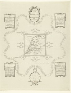
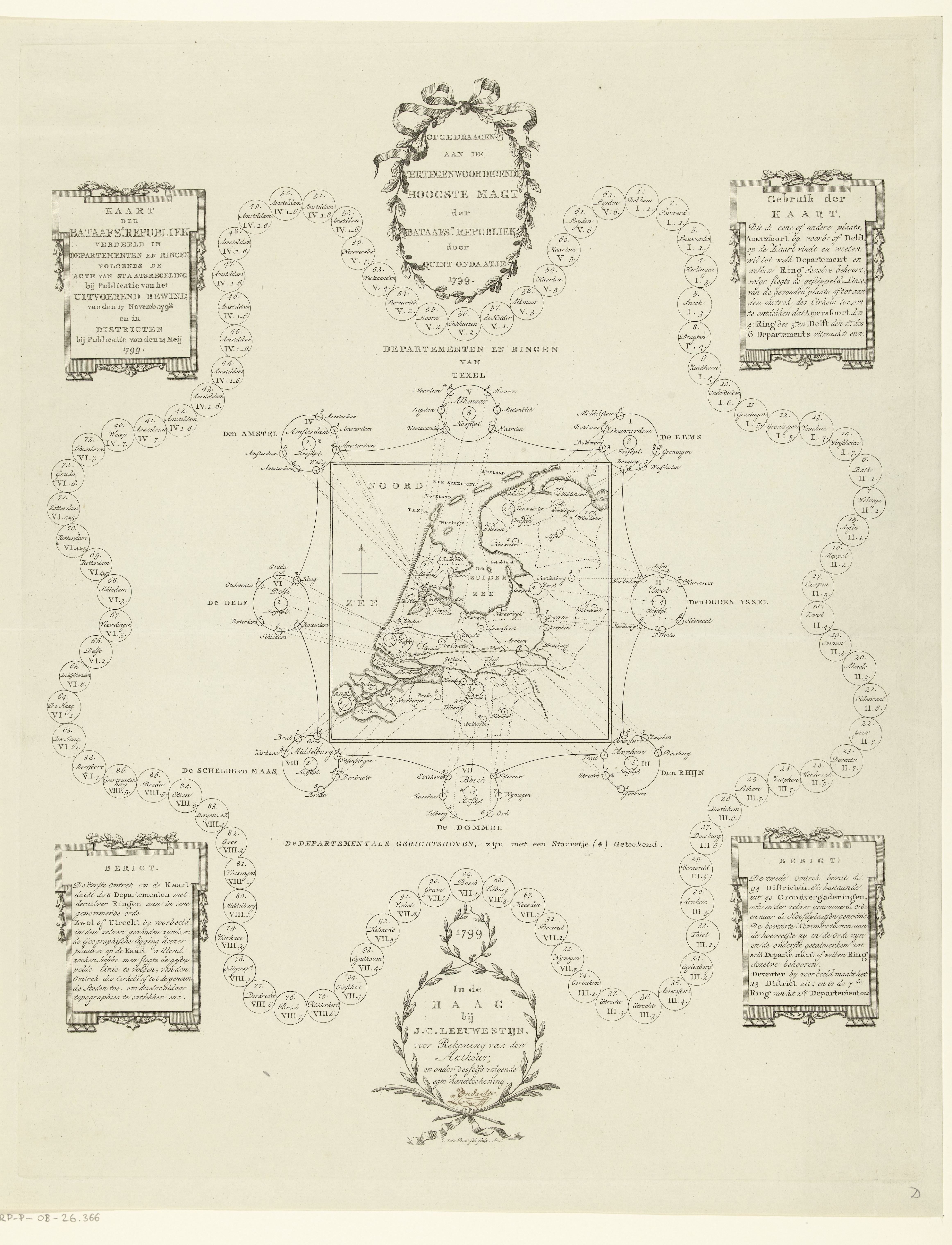
Kaart van de Bataafse Republiek opgedeeld in bestuurlijke regio's
Kaart van de Bataafse Republiek opgedeeld in bestuurlijke regio's by Cornelis van Baarsel, created 1799, in paper; etching. Available as a made-to-order fine-art print, canvas or framed wall art.
Artwork byCornelis van Baarsel

This preview shows what will be printed. Print crop to see what will be printed.
Made for your wall.
Gallery-quality printing keeps the artwork crisp, rich and true to the original. Every order is produced on demand to reduce waste.
- Artist
- Cornelis van Baarsel
- Collection
- rijksmuseum Open Access
- Source artwork
- 4648 × 6078 px
- Print method
- Archival giclée
- Paper
- Enhanced matte fine art paper
- Production
- Made to order
Artwork questions
Questions about Kaart van de Bataafse Republiek opgedeeld in bestuurlijke regio's
Verified details about this artwork and how your selected print will be produced.
How is Kaart van de Bataafse Republiek opgedeeld in bestuurlijke regio's cropped for printing?
The source artwork is 4648 × 6078 px and portrait. For 2:3 print sizes, the approved composition uses the moderate crop (12.823% of the source image). The print preview shows the exact printed area, which you can reposition before adding it to your bag. The image is cropped, never stretched.
Who created Kaart van de Bataafse Republiek opgedeeld in bestuurlijke regio's?
The original work is credited to , and is documented in the collection record.
What style and subjects are associated with Kaart van de Bataafse Republiek opgedeeld in bestuurlijke regio's?
This artwork is listed in Fine Art Prints. Related subjects include Public Domain Art, Painting and Cornelis van Baarsel Wallpapers.
Which print formats and sizes are available for Kaart van de Bataafse Republiek opgedeeld in bestuurlijke regio's?
Choose from fine art, canvas or framed, in sizes including 12 × 18 in, 16 × 24 in and 24 × 36 in. The configurator shows the valid combinations and exact price for your selection.
You may also like these art pieces
Explore related art prints, posters and wall art from similar subjects and collections.
View all art